Guildford
Community Health Service Area
Health Profile (Version 2.0)
2337 Guildford
Community Health Service Areas (CHSAs) in British Columbia (B.C.) are administrative bounds nested within Local Health Areas (LHAs) as defined by the B.C. Ministry of Health. This CHSA health profile contains information about the community’s demographics, socio-economic and health/disease status as represented through various community health indicators. Unless otherwise stated, data presented in this profile are specific to Guildford CHSA.
The purpose of CHSA health profiles is to help B.C.'s healthcare partners, public health professionals and community organizations better understand the health needs of a specific community and to provide evidence for service provisioning and prevention strategies. In general, CHSA-level values of health indicators should be interpreted with the population size of the CHSA in mind as smaller populations can have wide variations in data. For example, some rates presented in the profiles or the database are derived based on a small number of people with potentially high risk of re-identification. To protect the privacy and confidentiality of the individuals, these values are not releasable publicly as per the BCCDC policy and are indicated as such.
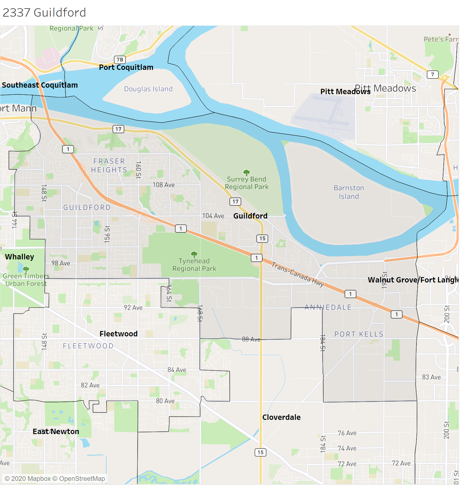
Guildford (CHSA 2337) is 53 km² in size and is a community in the city of Surrey located in central Greater Vancouver. It is south of the Fraser River and crossed by Highways 1 and 17. It is comprised of the neighbourhoods of Guildford, Tynehead, Johnson Heights, Port Mann, and Port Kells. Features include Tynehead Park, Barnston Island, and Bothwell Park. For further information, please refer to BC Data Catalogue.
Health Authority:
Health Service Delivery Area:
Local Health Area:
Community Health Service Area (v.2018):
Primary Care Network community:
Please note that CHSA-level data presented in this profile refer to CHSA boundary version 2018. CHSA boundaries may be subject to change because they use Census building blocks.